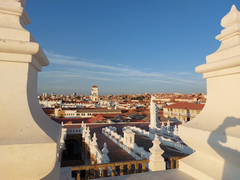
Getting Ready for the Carretera Austral
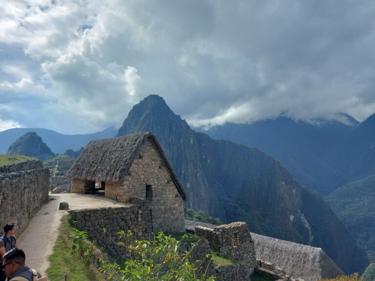
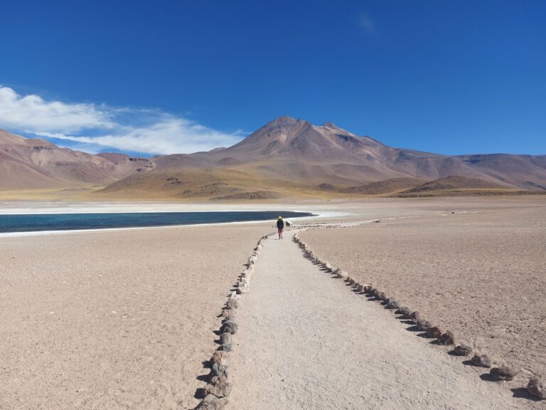
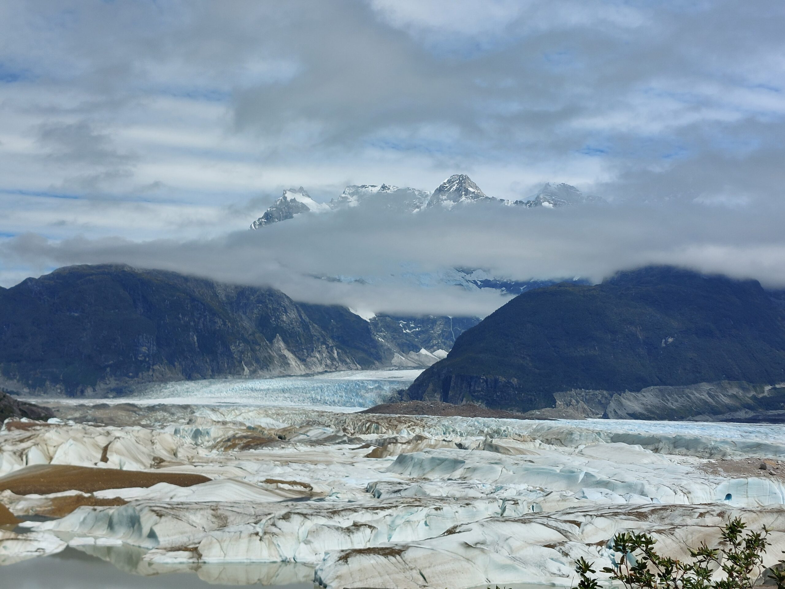
The Carretera Austral (Ruta 7) stretches approximately 1,240 kilometers throughout Chilean Patagonia, from Puerto Montt in the north to Villa O’Higgins in the south. This highway, officially opened in 1988, was initiated in the 1970s by Augusto Pinochet during his military regime, claiming it makes no sense you need to travel through another country to get into some parts of Chile. Before the initiation of the Carretera project, some of the places were only accessible by boat, train or a road from Argentina. Many parts of the Carretera are already paved, but some are still not, with an ongoing effort to make the full route paved. By the way, making a full road to the southern Patagonia areas (like Puerto Natales and Punta Arenas) doesn’t really look feasible as there is a huge ice-field in between!
We visited the route described here in the end of January and during February (2025). In general the Carreterra is best visited during the summer months (and shoulder season). Take into account the weather is very unstable (see section below) and the route includes some detours that are not along the Ruta 7 but still worth it (in our opinion).
Why should I go to the Carretera Austral?
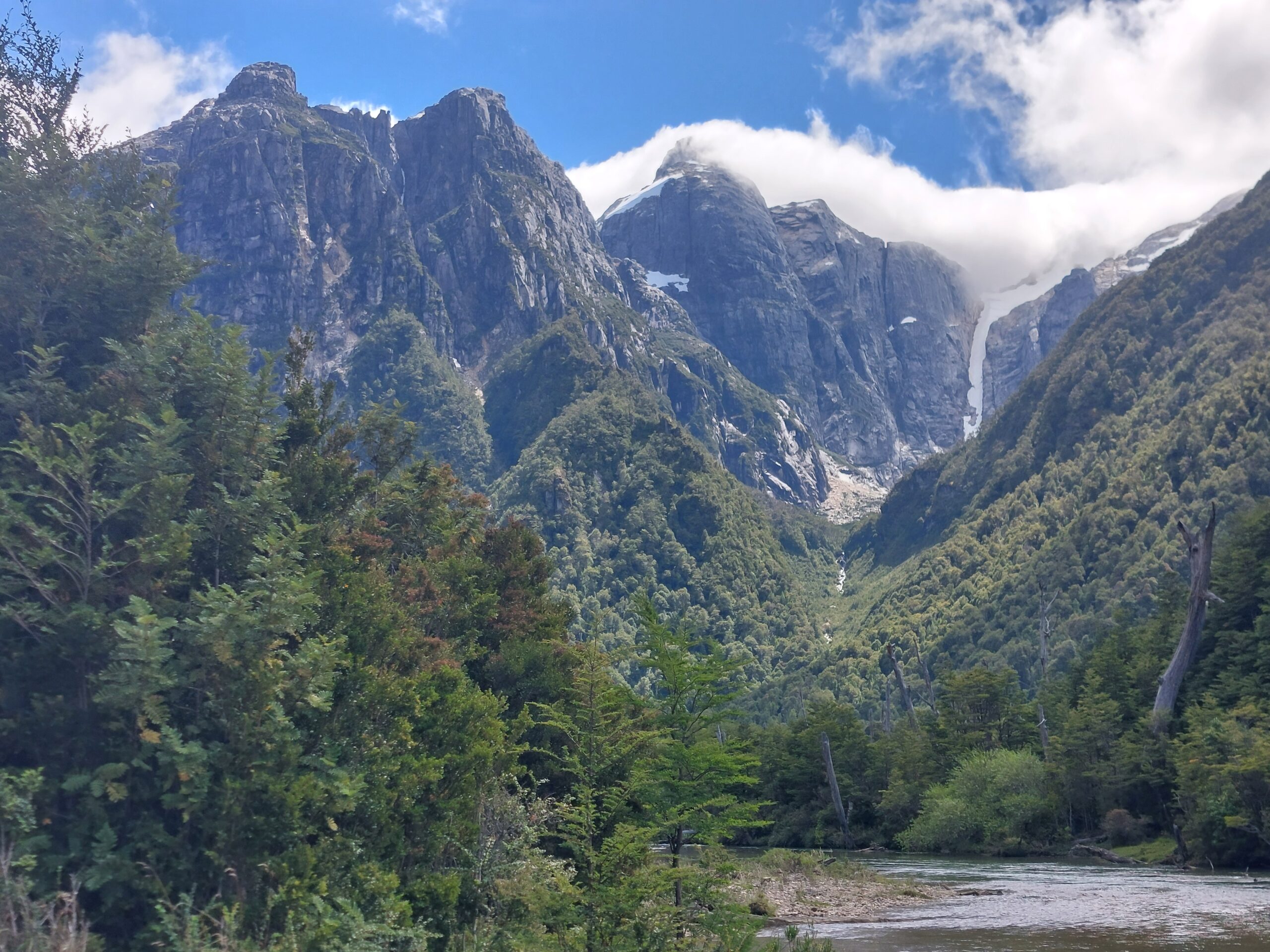
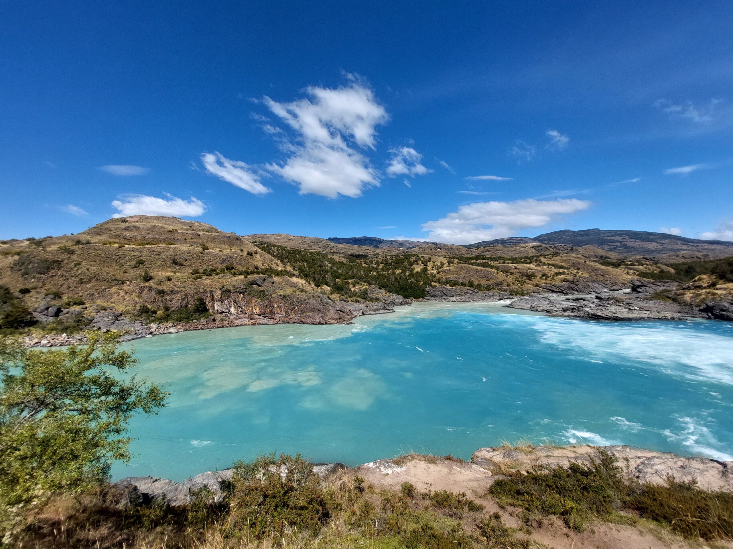
Go to the Carretera if you like untouched nature and wilderness, if you like driving (or go by different means), and if you are not scared of adventures…and if you have enough time.
Don’t go if you don’t enjoy being on the move all the time; if you are a city person (there are some small towns, but the biggest cities are definitely not the highlight of this trip…); if you have super limited time, as distances are long and the weather is unexpected; If the rough weather (even in summer) is not something you can handle (or enjoy).
How to visit the Carretera Austral?
We bought a car in Santiago so we were independent but still on a limited budget (surprisingly, buying a car might be cheaper than renting; but that’s for another post). We met along the road many people who chose other ways, so here is a short overview:
- Renting a car / motorhome – this gives you independence, but is pricey. Yeti and Wicked seemed quite popular.
- Biking – this is a popular option (for masochists 😀 ). We always felt bad for the bikers because they got quite dusty / wet (always one of these options), but they all looked happy.
- Bus – there are local buses going between most towns, but some only a few times a week, and require planning and booking in advance. (This post was super informative – translate it from French). If you want to go on a hike or some tourist attraction, it’s likely you’ll need to hitchhike or find a ride.
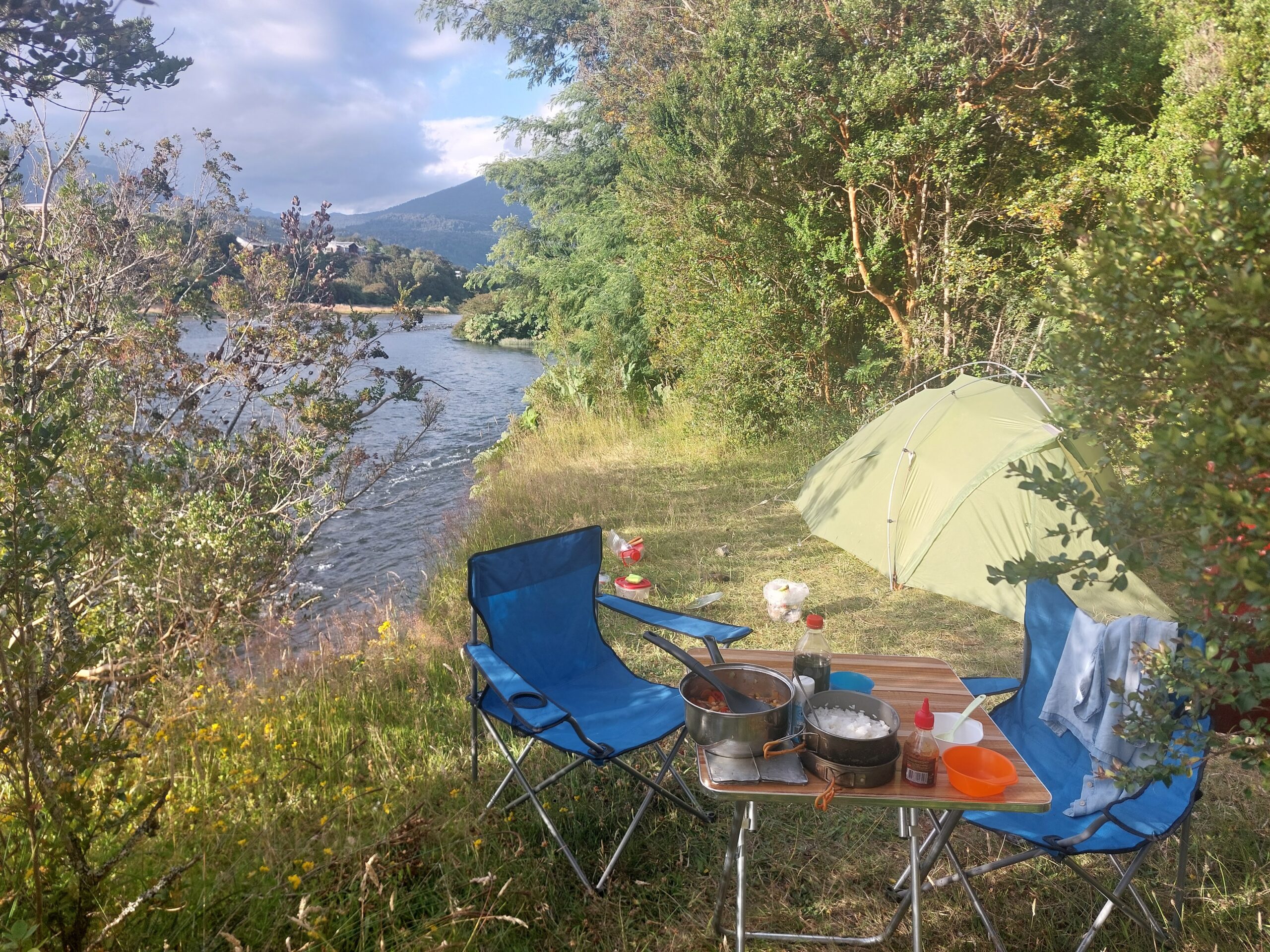
- Hitchhiking – a popular option! Some Chileans even fly from Santiago to one of the airports within the Carretera and start hitching from there. If you carry a lot of luggage, services are available in order to ship it to the other end so you can travel with a small pack. It’s recommended to carry a tent and cooking gear.
Whichever way you choose to travel the Carretera, we hope the following tips will give you some inspiration and guidance!
General tips
Bring cash
ScotiaBank branch (as of March 2025, the only bank we found with no commissions) can be only found in Coyhaique. Most places (including parks and campsites) accept credit cards, but not all; It’s best to have enough cash.
National Parks along the Carretera Austral
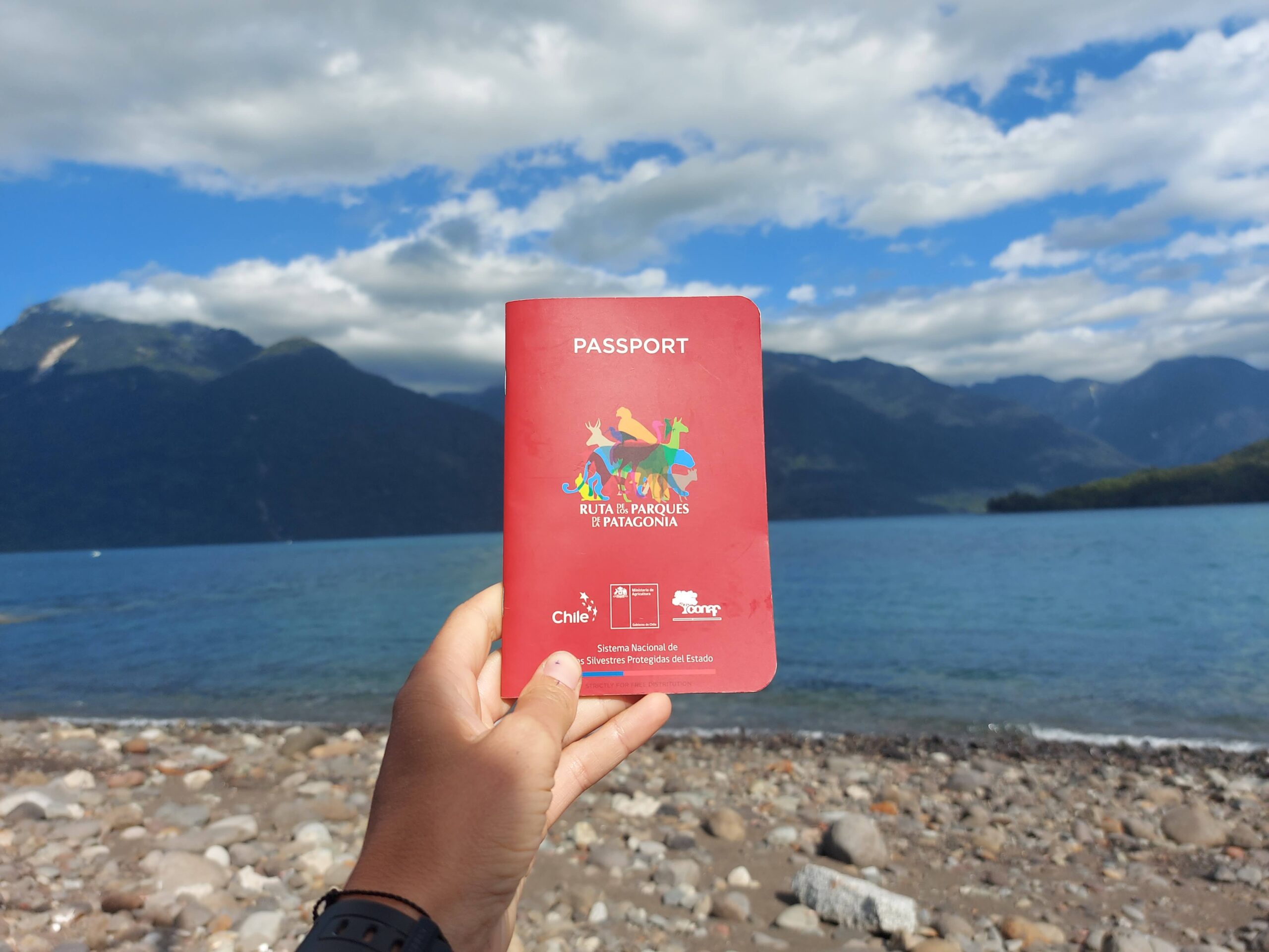
- Hiking options – we really struggled to find information about hikes along the way, which was a pity! We found that the Patagonia Passport (available free of charge in CONAF offices along the route) gives great tips on the highlights of each national park and region.
- Book in advance – In some national parks in Chile, you have to book the entrance in advance in pasesparques websites. In the Carretera, the only one we had issues with was Queulat National Park near Puyuhuapi, where you can see the hanging glacier. Make sure you book at least 1 day in advance during high season as entry without reservation is not allowed (we missed it 🙁 ).
- Monday monday – Queulat national park was closed on Mondays. As far as we know, the rest of the national parks weren’t.
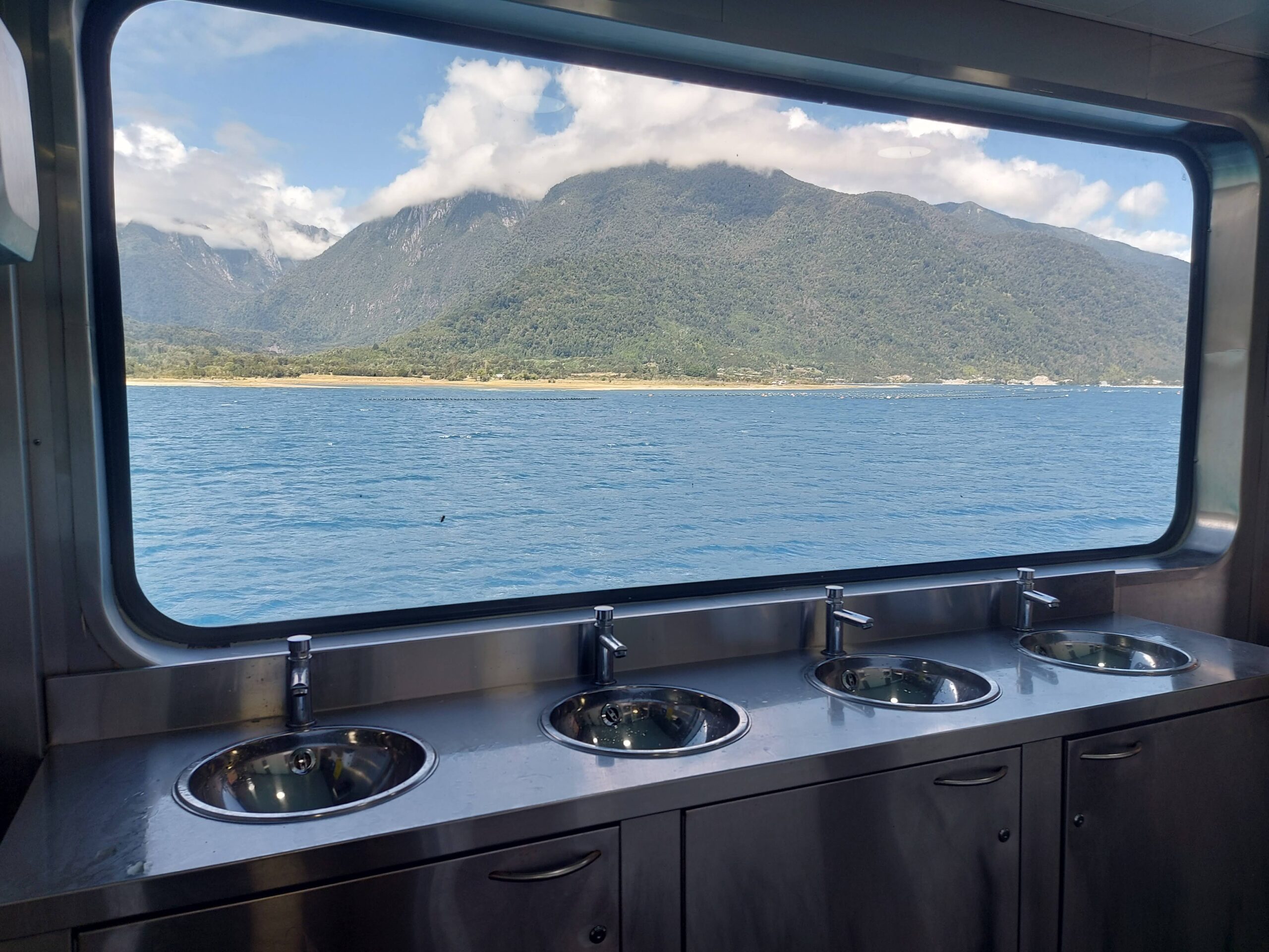
Ferries in the Carretera Austral
Going the entire ruta 7 requires taking several Ferries. Some of the ferries require booking in advance, especially on high season (Dec-Feb) and if you take a car. We got very lucky to get a ticket 1 week in advance, but it’s suggested to book 6 weeks before if you already know your plan.
No place available? Don’t give up! In our ferry ride from Hornopirén to Caleta Gonzalo, there were about 15 spots left – the people who had no reservation stood in a separate line and once all booked people were on board, they were able to buy tickets (first come — first serve).
Hornopirén ferry (“Bimodal”): The ferry from Hornopirén to Caleta Gonzalo stops at Fiordo Largo, where you have to drive for 15 minutes to the next ferry. The second ferry is smaller so not all cars fit. If you are late for the second ferry, you’ll have to wait for it to cross and return, which might take a while. Our tip: nothing, just patience. We came early to the first ferry, but got a place inside a garage, so we actually left the ferry late…
All the Ferries we took:
| From | To | Duration | Cost | Advance booking |
| Hornopirén | Caleta Gonzalo (PN Pumalin) | ~5h (3.5 hours Hornopirén -> Leptepu, than 15 min drive to Fiordo Largo, than 45 min ferry to Caleta Gonzalo) | 44,300 CLP (car) + 7,400 (additional people) | Somarco |
| Puerto Yungay | Río Bravo (1h from Villa O’higgins) | 50min | Free | No. Possibly long waiting times |
The men’s toilet didn’t even have a window!
You can also take a ferry further south if you want to get to Puerto Natales (PN Torres del Paine) – this takes several days; or go on smaller ferry rides to visit different icefields. Just take into consideration further south the ferries may cancel due to strong winds so it’s only recommended if you have a flexible schedule. There are many companies and it can get a bit confusing – our best tip is to take a look at a real map, where the ferry rides are marked, to get a rough idea of your route and than search for the relevant companies.
IOverlander – our bible
IOverlander is the app we used most during our travels with the car along Chile, including the Carretera Austral. It shows loads of relevant info for travelers, such as freedom camping places, normal campsites, tourist attractions, laundromats, wifi, boarder crossings and much more. It’s kind of a social network of fellow travelers reporting cool places and sharing recent updates about them (you can see our comments too 😉 ). Some people share really funny reviews (e.g: “with a smell of burned rubber we managed to get out of this camping place”, “i tried fishing here, but I didn’t catch anything”) so it’s also amusing. It works offline once you have the maps downloaded.
Out tip: There is a filter button on the top right of the app! Show only what you are interested at the moment, otherwise it’s overwhelming, there is just too much info.
Stock up on Groceries
As most towns along the Carretera are small and remote, grocery (especially fresh fruit and vegetables) are not always available or are 20-50% more expensive than in large places. If you have a car, we suggest stocking up in Puerto Varas / Puerto Montt. In Coyheique there are also large supermarkets and prices are better compared to the rest of the Carretera. In small towns you will always find a small grocery store with the basic stuff, but if you need anything special (like gluten free oats…) you should bring it with you.
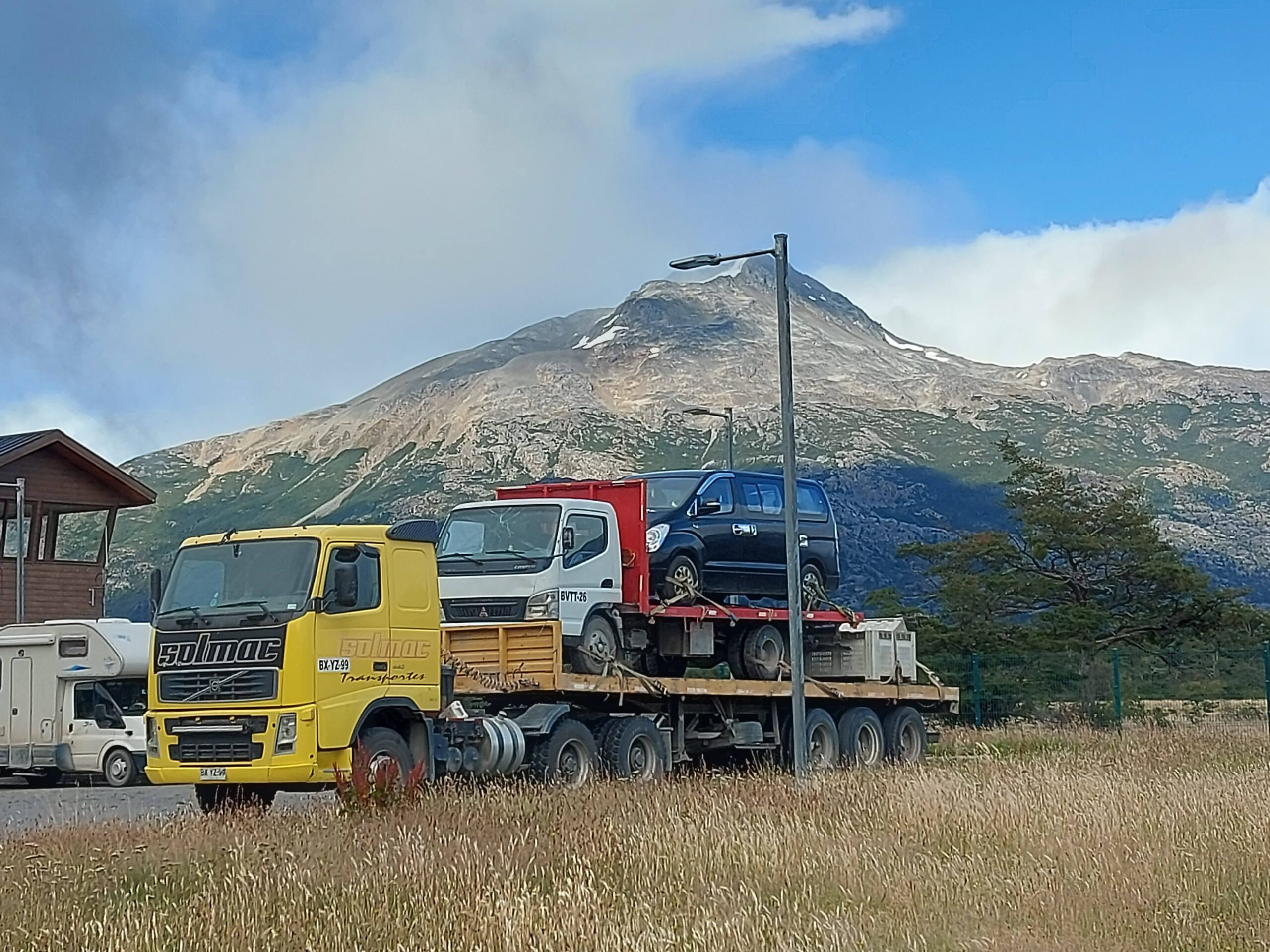
Car checks before you head to the Carretera Austral
Make sure your car is in good mechanic state before heading to the Careterra. We checked:
- Air pressure (in the gravel roads, it’s advised to have lower PSI than official for a smoother ride).
- Oil – make sure it’s full and check occasionally along the route to avoid serious engine problems. If you know your car needs a lot of oil, it’s cheaper to buy it before.
- Spare tire – make sure it is filled with air and you have all the equipment needed to replace it. Be careful in very windy places – if your vehicle is very heavy, you may need an additional jack so the car won’t flip.
In general if your car has a problem along the route, don’t worry: it seems like gomeria / lubricentro for replacing tiers and mechanicos seems like the most common profession in this region, and can be easily found (read reviews in google and iOverlander – see above).
Fuel in the Carretera Austral
We used the app BencinaCL to compare fuel prices along the Carretera and prepare for the route. Our tank was big (60L, which was enough for roughly 600km), so as long as we filled in every town, we had no need for a bidon (plastic jerrycan). It felt safe having one, so we got it anyway, but we recommend to check you car fuel consumption and tank size to get a better picture. We filled our Bidon it in Puerto Varas where fuel was the cheapest — it gets expensive as you go further south.
Events and Festivals along the Carretera Austral
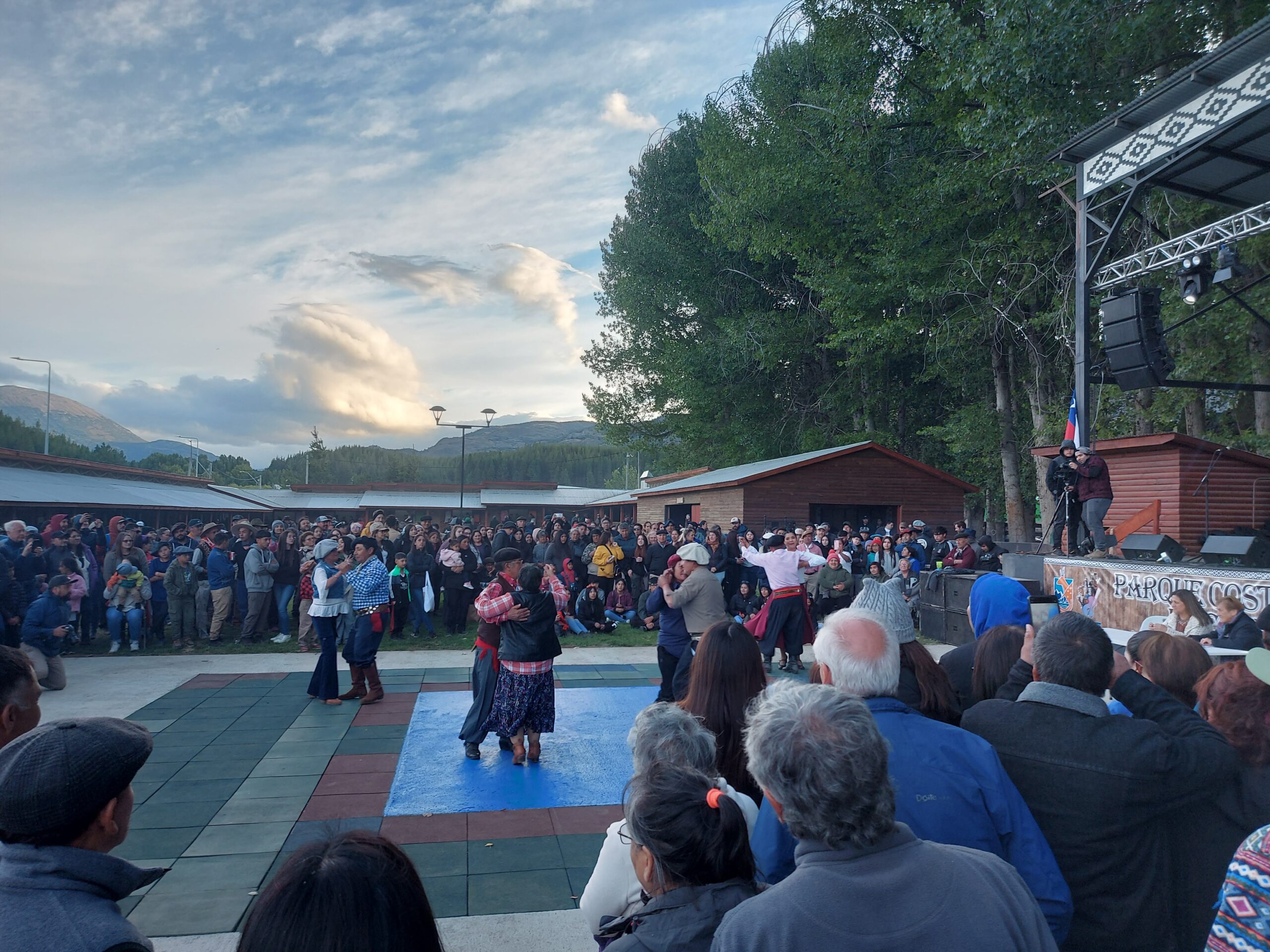
February is a month of festivals in Aysén district. Local festivals are a good chance to meet the locals and see the interesting patagonian-gaucho customs like horseriding, eating asado, dancing, wearing a baqueano (sort of beret hat) and drinking craft beer that they make on their own. Check for events and festivals at chile.travel and in the local tourist information.
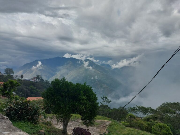
Dealing with the Harsh Weather of the Carretera
As mentioned before, Patagonia can often be tough; we sometimes felt the weather is hostile and not meant for people to live or even visit. But after we got used to it, the adventure begun. So just be prepared for all weather cases: wind, rain, dust, cold, sun. They may all be experienced in one day. We suggest to bring wind gear (a good rain / wind jacket is a must), lots of layers (onion method) including gloves and beanie, and sunscreen.
Internet Connection along the Carretera Austral
We had entel and in all towns it had good service, also sometimes while freedom camping out of town. However in most of the roads there was no internet so download your map in advance or use an offline app (like mapy.cz) (you can’t really get lost so no worries 😉 ). Don’t forget to download some music and podcasts for the long drives.
Keep Good Karma
- Take your garbage, leave no trace!
- Stop for hitchhikers 🙂
Summary
Are you already excited? We’ll soon publish part 2 of this article, including all our favorite places along the Carretera and some insider tips off-the-beaten-path.